Snowbirds heading home—Part II
Heading north through California via the western route


In our last segment in the Snowbirds heading home series, we discussed the eastern route from California, and left off as we were connecting to the tail end of the western route.
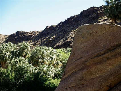
Again, starting at San Bernardino, take I-10 West to I-5 North to CA99 at Mettler. Continue north to CA198 near Visalia to Three Rivers. A quick stop here is well worth it, for you can see ancient petroglyphs at a BLM (Bureau of Land Management) site.
Continue to Sequoia National Park and head for the Giant Forest Big Trees. Here you will find giant trees, Sierra peaks and deep, heavily wooded canyons. The trees even have names, like General Sherman and General Grant. The General Sherman Tree is the largest tree by volume on the planet. These giant sequoias are magnificent and their surroundings are equally outstanding. The foothills start at an elevation of 1,300 feet (396 metres) and soar to 14,491 feet (4,417 metres) at the summit of Mount Whitney, the highest summit in the lower 48 states. In addition to the fantastic scenery, you can do a little fly fishing (with a proper license) or watch the wildlife.
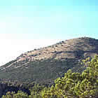
Back on I-5, head for Mount Shasta—or White Mountain, as the Native Americans called it. The mountain appears to just shoot up abruptly and rises to 14,179 feet (4,322 metres). There are four overlapping cones to the mountain and they form a very complex shape. Mountain climbing is very popular here, but is best left to the experienced climber.